• News
  • Investors

The Expertise You Need For
Data Collection

When you don’t have access to trained in-house pilots, required equipment, or simply don’t have the time to execute flights yourself, rely on our team of qualified pilots to conduct flights on behalf of your organization. Whether you need assistance with occasional one-off projects or on-call support, our team is available to help you efficiently collect your valuable data. From raw imagery to finished product, our deliverables are flexible and suited to your unique use case.

Our flight services are revolutionizing how businesses approach data collection and analysis, delivering reliable and detailed information for various applications. 

Designed and developed in North America.

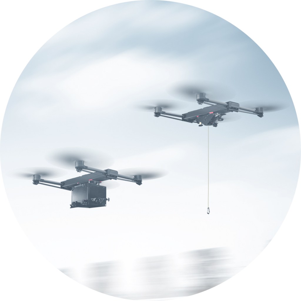
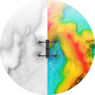
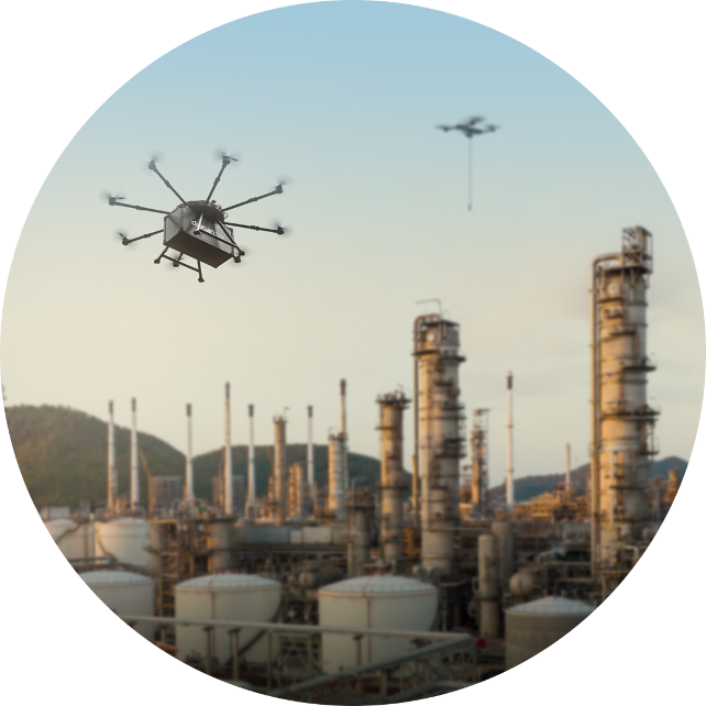
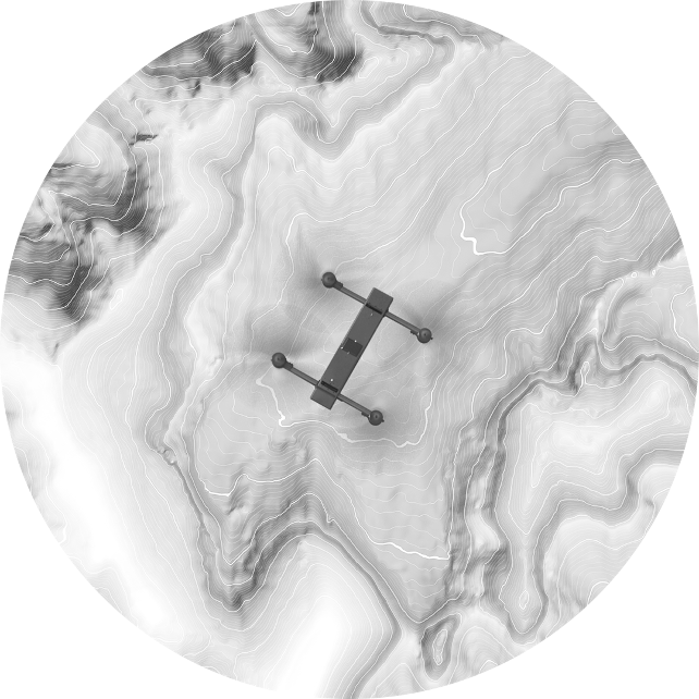
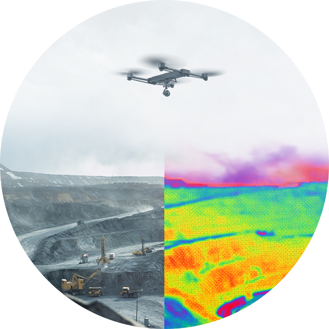
With the advancement of drone technology, there has been a significant shift in how industries approach mapping, surveying and data collection. Our teams specialize in utilizing drones to capture aerial imagery and data for a variety of applications, including topographic mapping, orthomosaic mapping, 3D modeling, surveying and data collection, and Geographic Information Systems (GIS).

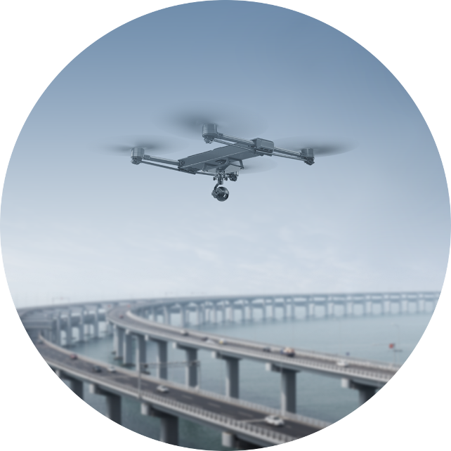
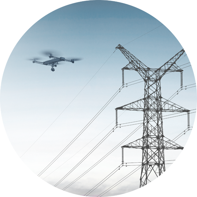
By using drones, we can efficiently and cost-effectively collect data over large areas, providing accurate and up-to-date information for decision-making in industries such as civil engineering, construction, telecommunications, urban planning, construction, agriculture, oil and gas, and environmental monitoring.

Mapping & Surveying

Construction

Infrastructure

Agriculture

Utilities & Telecom

Oil & Gas

Magnetometer Surveying

Mining

HoverMap Inspections

Learn more about our Custom Solutions

Contact our team to discuss our ready-to-ship, turnkey commercial drones and custom solutions.

Tim Dunnigan

ADVISOR

Tim Dunnigan is a thought leader and serial entrepreneur who served 22-years in the U.S. Army as a Soldier, NCO, and Commissioned Officer where he filled a myriad of dynamic leadership roles and global assignments, including three combat tours of duty. His 20-years of entrepreneurial success is guided by transformational ideas and ventures in technology, innovation, and education. Tim is the CEO & Founder at CaptureTec, LLC – a Center for Verification and Evaluation Certified, Service-Disabled Veteran-Owned Small Business (CVE SDVOSB) focused on leadership consultation, systems integration, and solutions that provide data capture for infrastructure assets using aerial, static, and mobile scanning technologies. As the COO and Co-founder at Talon Aerolytics, Tim architected the nation’s largest aerial drone services provider from inception to all 50 states serving clients including AT&T, Nokia, T-Mobile, Ericsson, and Verizon. As the CEO & Founder at Strategic Integration (CVE SDVOSB), Tim developed the CTED (Create, Test, Educate, Deploy) turnkey business model for defense consulting and technology integration, while serving America’s interests abroad through multiple U.S. DoD classified hardware and software contracts in the U.S. and overseas. Additionally, Tim is the Founder of Innovalearn, where he created education content for clients including Aflac, Synovus, Subway, and Cox Communications; the Founder of iK9 (CVE SDVOSB), where he co-authored the Veterans Administration (VA) training protocols for service dogs for Veterans with PTSD; and the Co-founder of GameLink Lounge, where he architected innovative entertainment concepts for Service Members and their families on Military installations across the U.S.

Tim is also the Founder of the I’m a Hero Too Foundation [501(c)(3)] and a children’s book author. He holds a Bachelor’s Degree in Human Development, a Master’s Degree in Organizational Leadership and Management, and has completed 2-years of PhD studies in Adult Education at Auburn University. Tim’s been awarded 6 patents and currently has two patents pending on an aerial drone delivery system he developed to fill capability gaps he witnessed during his multiple trips to Ukraine.

The Future of Drone Surveillance

SAVING TIME, MONEY, AND LIVES.

Short–range drone surveillance has experienced significant attention thanks to its low cost and efficiency. Long-range drone surveillance beyond visual line of sight (BVLOS) is now on the horizon and is set to amplify cost savings regarding resources and time spent on data collection.
This website uses cookies to improve user experience. By using our website, you consent to all cookies with accordance with our Cookie Policy.

The Future of Drone Delivery

A WORLD WITHIN REACH

Demand for drone hardware and services has never been greater. From emergency medical deliveries to agricultural management; community, government, and corporate drone usage is expected to see enormous growth up to and beyond 2028.