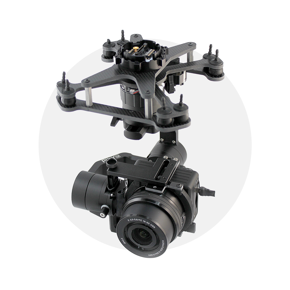

Our camera partners offer sensors ranging from 18MP to 100MP color visual light still cameras intended for broad use cases such as agriculture, surveying, public safety, and infrastructure inspection. These cameras are tightly integrated and ideal for applications when high spatial accuracy is important to provide you a real time overview of your scene.
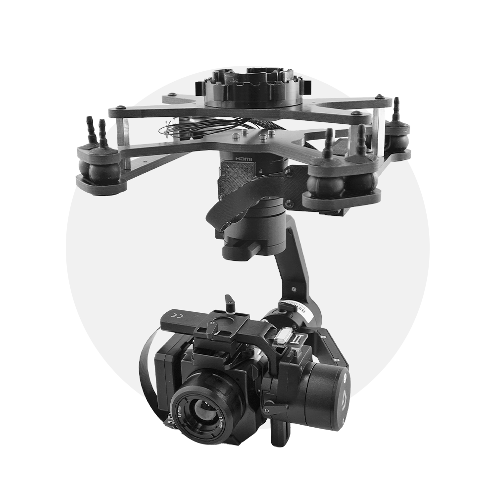
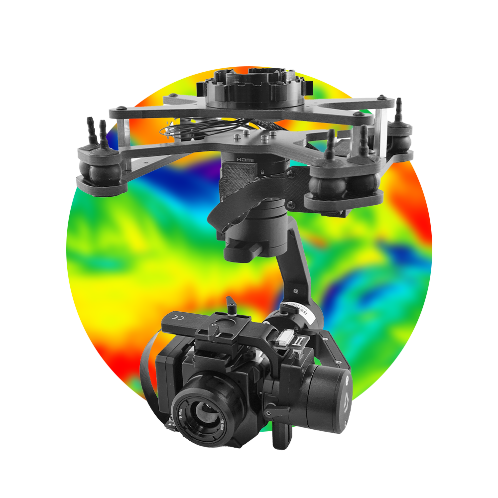
Particularly useful in the agricultural industry, these cameras allow researchers, breeders, and producers to capture the spectral range and resolution needed to calculate vegetation indices (VIs) for monitoring crop health, growth, and biomass. Commonly used by emergency response teams and for infrastructure inspection, thermal infrared cameras give invaluable information for search and rescue, fire response and management, and identifying damaged energy sector infrastructure.
These specialty cameras are tightly integrated with our RPAS platforms and flight planning software to accurately capture imagery in specific targeted light bands. Particularly useful in the agricultural industry, these cameras allow researchers, breeders, and producers to capture the spectral range and resolution needed to calculate vegetation indices (VIs) for monitoring crop health, growth, and biomass.
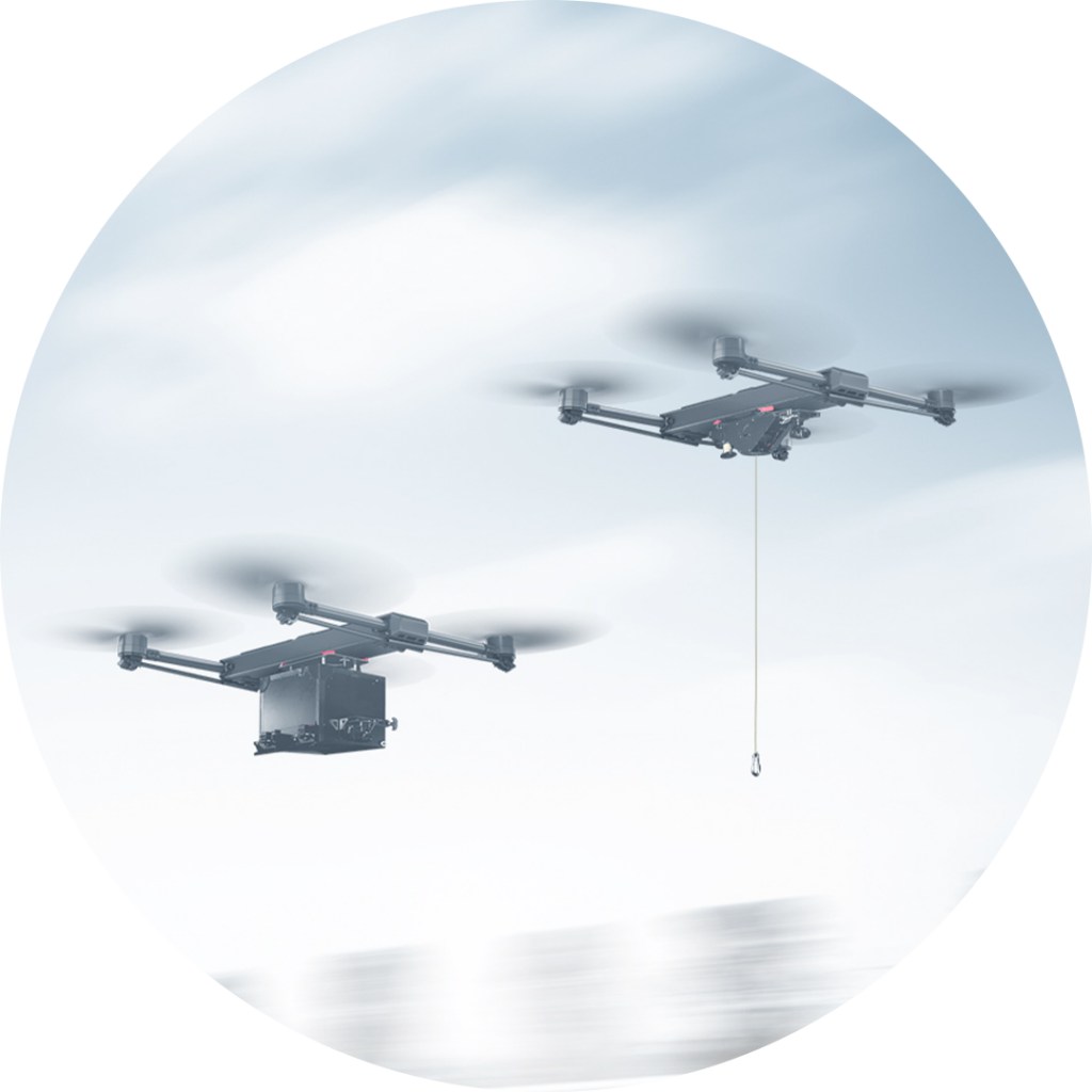
Light Detection and Ranging (LiDAR) provides extremely accurate distance measurements and improved resolution over conventional photogrammetry methods. Often used for mapping and surveying, this sensor works well when there is dense ground cover or tree canopy.
Our camera partners offer sensors ranging from 18MP to 100MP color visual light still cameras intended for broad use cases such as agriculture, surveying, public safety, and infrastructure inspection. These cameras are tightly integrated and ideal for applications when high spatial accuracy is important to provide you a real time overview of your scene.
Particularly useful in the agricultural industry, these cameras allow researchers, breeders, and producers to capture the spectral range and resolution needed to calculate vegetation indices (VIs) for monitoring crop health, growth, and biomass. Commonly used by emergency response teams and for infrastructure inspection, thermal infrared cameras give invaluable information for search and rescue, fire response and management, and identifying damaged energy sector infrastructure.
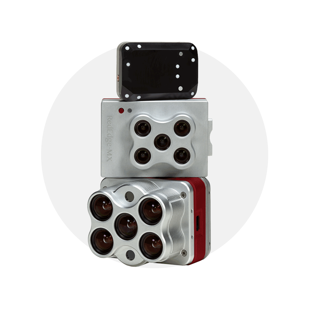
These specialty cameras are tightly integrated with our RPAS platforms and flight planning software to accurately capture imagery in specific targeted light bands. Particularly useful in the agricultural industry, these cameras allow researchers, breeders, and producers to capture the spectral range and resolution needed to calculate vegetation indices (VIs) for monitoring crop health, growth, and biomass.
Our camera partners offer sensors ranging from 18MP to 100MP color visual light still cameras intended for broad use cases such as agriculture, surveying, public safety, and infrastructure inspection. These cameras are tightly integrated and ideal for applications when high spatial accuracy is important to provide you a real time overview of your scene.
Particularly useful in the agricultural industry, these cameras allow researchers, breeders, and producers to capture the spectral range and resolution needed to calculate vegetation indices (VIs) for monitoring crop health, growth, and biomass. Commonly used by emergency response teams and for infrastructure inspection, thermal infrared cameras give invaluable information for search and rescue, fire response and management, and identifying damaged energy sector infrastructure.
These specialty cameras are tightly integrated with our RPAS platforms and flight planning software to accurately capture imagery in specific targeted light bands. Particularly useful in the agricultural industry, these cameras allow researchers, breeders, and producers to capture the spectral range and resolution needed to calculate vegetation indices (VIs) for monitoring crop health, growth, and biomass.